
Finding Alabama Residents by Street
Alabama has no statewide parcel viewer that returns everyone on a named street. Begin with one address and use the county and city offices that hold the matching record. The Secretary of State's county-official lookup helps route a city or county to its probate judge, circuit clerk, Board of Registrars, or absentee manager. A property record can identify a titled owner and parcel; it does not establish who is inside the home. Keep those questions separate as the street directory trail moves from one source to another.
- Write the address as found, then note its county and municipality. Keep unit, direction, suffix, and any old number as separate details.
- Use the Alabama Department of Revenue county directory to find the local revenue commissioner, property search, or GIS link.
- Save the parcel or account number, situs address, mailing address, legal description, and the date checked. Open the county map if one is offered.
- Take the parcel and legal description to the county probate deed index, then compare a deed's parties and description before following an earlier owner.
- For a current registration lead or an older household, use the separate voter and library routes described below. Neither one is a full list of people inside the house.
Record the source URL and inspection date with each result. Alabama county pages differ in fields, map layers, image access, and start dates, so a workflow that works in one county may need an office visit in another.
Alabama Street Search Fields
The state directory routes to county systems; it is not a statewide assessment database. Search options are local, but Alabama research found a recurring set of fields to look for. The county page may separate the public appraisal record from its map viewer, and one service may show an owner name while another shows the parcel geometry.
The Alabama Department of Revenue (ALDOR) county property page is the starting point for those county links. It routes researchers to county property-search and GIS systems, whose online tools differ.
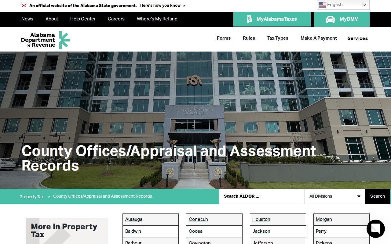
Follow the county link for the actual search. If the map or appraisal page omits a field, call the revenue office or ask at its counter rather than reading a blank as proof that the data does not exist.
| Search field | Form or result | What varies by county |
|---|---|---|
| Owner name | Text search, optional in many portals | Name format and whether business or estate names are indexed. |
| Situs address | Text or address suggestion | Street abbreviations, unit handling, and address matching. |
| Parcel or account number | Text field | Number format; this is often the best bridge to map and deed work. |
| City or town | Dropdown or text where offered | Some entries may include unincorporated places. |
| ZIP | Text or dropdown in some systems | Not a statewide feature; verify on the assigned county portal. |
| Class or exemption | Dropdown or result flag | Classification and homestead display differ. |
| Map, sales, or sketch | Result link or tab | Each county decides which details appear online. |
For an Alabama address, try owner name, situs, and parcel number when all three modes exist. If the portal is limited, visit the revenue office for a public terminal or paper card, call or send a focused copy request, and ask the local library or historical society about older tax records. A homestead flag is a tax status, not proof that the owner currently lives there.
Alabama GIS Street-by-Street
A county geographic information system (GIS) viewer maps parcels; it does not certify ownership or occupation. In a county with public GIS, search an address or parcel, click its polygon, and save the parcel ID and any linked assessment card. Then pan along the street and inspect one parcel at a time. Alabama GIS systems often separate the map from the county tax record, so a map popup may have a parcel number but no deed image.
Layer names and tools are county-specific. A viewer may offer parcels, roads, zoning, flood areas, school or utility districts, and municipal boundaries. Do not assume every layer appears statewide, or that an adjacent-parcel, buffer, or export tool exists. If the map has no street browse, use its address search and click each parcel manually. Save the map link and inspection date.
Where the property map is unclear, the recorded plat or deed legal description controls the lot boundary. A road line, condominium parcel, or shared drive can make two lots look adjacent when the legal description says otherwise. The street directory method is a parcel log, not a one-click roster.
Alabama Records Tied to Streets
Several Alabama record sets use an address, parcel, or legal description, but they answer different questions. A county property card is the quickest current parcel lead; a deed records a conveyance; a permit belongs to a city or local department. A voter result confirms one registration record, while a historic directory can place a name at an address in its publication year.
| Record set | Custodian | Address connection | Access route |
|---|---|---|---|
| Parcel and tax card | County revenue commissioner or tax assessor | Tax owner, situs and mailing address, parcel details | County portal, counter, call, or copy request |
| GIS parcel map | County or local GIS office | Parcel shape, ID, and offered map layers | County-linked viewer or local office |
| Deed or plat | County judge of probate | Instrument parties, date, legal description, recorded plat | County portal or probate counter |
| Voter record | Secretary of State and county Board of Registrars | One registration result or fields in an approved list request | VoterView, list form, or Board of Registrars |
| Permit or code file | City or local planning/building department | Address, project, applicant, dates, inspection or case status | Local online page or focused request |
| Past occupant directory | Library, ADAH, or other holding archive | Printed name/address in a particular edition | Onsite shelf, microfilm, catalog, or digitized set |
The parcel number links assessment and map work; the legal description links a deed or plat to the land. A street name alone is weaker because names and numbers can change. No Alabama source in this table is a complete list of current household members.
Alabama Situs and Street Addresses
A parcel card may show both a situs address and a tax mailing address. Situs means the physical location of the parcel. Mailing address is where the owner receives tax mail, which may be elsewhere in Alabama, another state, a business, an estate, or a post office box. Keep both values, along with the owner name and parcel ID, because they serve different roles in the record chain.
This is a practical Alabama street-search tip: the mailing address may help explain who receives a tax notice, but it does not say who occupies the parcel. A person can own more than one parcel, and a record can be old or entered under a trust or company name. Homestead-exemption information can show a claimed tax status, not a verified resident. Confirm the parcel against the deed before drawing a title conclusion.
- Parcel
- A unit of land tracked in a county assessment or map system, often with its own account number.
- Situs address
- The physical location assigned to the property.
- Legal description
- The deed's description of land, such as a lot and block, subdivision, section-township-range, or metes and bounds.
- Plat
- A recorded map that lays out lots, blocks, streets, or easements in a tract.
Alabama Deed Records by Address
For older land records, the Alabama Secretary of State offers the Lands search from statehood through 1950. Its documented modes are Name, Township/Range/Section, and Book. The statewide search is a useful historical window, not a post-1950 county deed system. The Secretary of State land records page explains the state collection and points later records toward the county probate office.
After finding the current owner and legal description, use the county judge of probate's index where available. Match the parcel description, not just the modern street number. Record the grantee, grantor, instrument type, recording date, book/page or document number, and prior-instrument reference. Search the earlier grantor as a grantee, then compare the same lot or land description again. A county image or copy may have separate local access and fee rules; the Alabama research does not establish one statewide price or online start year.
If an online index stops, use the county probate counter or request process, Alabama Department of Archives and History (ADAH) county-records microfilm, and the originating office's books. The historical land search, local probate record, and current parcel card are different links in one chain.
Alabama Voter Records by Street
VoterView is a free, one-person status lookup, not a street-wide roster. Its name search asks for First Name, Last Name, and Date of Birth, then can return registration status, ballot status, polling location, address, and election detail. The address form checks polling-place location. A result shows registration information, not a person's ballot choice, and a registration address does not prove parcel ownership.
For a requested voter list, use the Secretary of State voter-list form or contact the county Board of Registrars through the official county lookup. The form lets the requester specify county, municipality, precinct, district, or other available geography; select active, inactive, or both; choose fields; and request mail, email, or pickup in a listed format. The office provides a quote before payment, and the form does not guarantee every selected field for every geography.
Alabama has protected-voter affirmations for eligible people, and protected records omit public fields other than name. A by-street page should explain the request path, not copy a list or imply every registered voter is visible.
Alabama Permit and Code Records
Permit and code records belong to a city or local department, and Alabama has no statewide municipal permit index. A local permit entry may identify an address, parcel, permit number, project, contractor or applicant, issue date, inspection status, and close date. A code case may show an address, case number, violation type, opened or closed date, notice, and status. Which fields are public online depends on the city.
Search the municipality's planning, building, or code page first. If it has no public search, ask that department or the city clerk whether records are indexed by address, parcel, case number, or owner. A focused request should name the street address, record type, and date range. Where a city accepts it, a request for an existing public writing may use Alabama's Open Records Law, Ala. Code §36-12-40. Call, visit, or send the request through the city's stated channel, and ask about copy and redaction rules. Do not treat a permit applicant as an occupant.
At Alabama's state level, there is no selected municipality to name and no single city portal to link. Once a city is known, its own record system is the right source.
Alabama Historical Directories by Street
Printed reverse or criss-cross directories can turn an old street address into a name for the edition year. A reverse section is organized by address rather than only by a person's name; a street guide may be in front matter or a separate volume. Check the publisher's key, city or suburb coverage, and issue year before reading a mark as a household fact. These books are historical snapshots and may omit a person or address.
Mobile, Birmingham, Montgomery, ADAH, and other local shelves hold different runs, so the statewide task is to find the right catalog rather than assume one complete Alabama set. The Alabama city directory collections page details the main year runs and local access points. For the modern parcel and deed chain, return to the relevant county office instead of using an old directory as proof of current residence.
Alabama Address and Street History
Alabama has no statewide index of street renamings or renumberings. An old directory may use a rural route, a former street name, or a city boundary that changed later. A current parcel map may not recognize that description. Keep the historic wording as printed, then look for a link to the present land through the legal description, subdivision lot and block, recorded plat, or county map.
For an older address, compare the directory street guide with city maps, newspaper notices, plats, and historic maps. The ADAH Maps Database and the Library of Congress map collection can help where a relevant map survives, but not every map is digitized. A number missing from a modern GIS is not evidence that the property did not exist. In Alabama, annexation can also move a parcel into a new municipal service or tax area without changing the deed description.
Alabama ZIP and City Boundaries
A mailing city, a municipality, a county, and a ZIP code are separate ways to describe an Alabama address. A ZIP can cross city or county lines, while a Census ZIP Code Tabulation Area is a statistical shape rather than a live delivery boundary. The U.S. Postal Service address lookup checks a specific delivery point; Census materials explain ZCTAs and their limits.
This matters when county routing is based on a mailing city. Confirm which county holds the parcel before opening a property or probate portal. Keep the tax mailing ZIP and the parcel's situs address separately if they differ. A ZIP field on a county search may filter some parcels, but Alabama research found no uniform ZIP capability across assessors. See the Census ZCTA explanation before using a map shape as if it marked a city line.
Limits of an Alabama Street Directory
No Alabama parcel card or deed index is a current household list. Property records identify a tax owner and land; voter records concern registrations; a directory records what its publisher gathered for one edition. Public street records do not reliably show every resident, protected voter, customer, or person who receives mail at an address. Driver information is limited by federal privacy law, and utility customer lists are not a public resident directory.
Lawful use. Use Alabama records for personal research and verify a result with its custodian. Do not follow, threaten, expose a protected address, or harass a person; public access is not permission to cause harm.
Alabama's Property Protection Act is set to take effect October 1, 2026, and its implementation forms were still being developed at the research review date. For a suspected seller-impersonation deed, verify the instrument with the county probate office and follow the Alabama Securities Commission's official updates. When the purpose changes from a street to one person, use a careful Alabama resident lookup and confirm each record with its actual custodian.